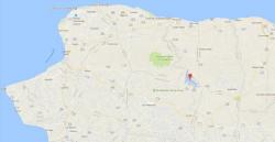
Earthquake Detected Near North Korea Nuclear Test Site; China "Suspects Explosion"

In what may be the latest major escalation involving North Korea - and potentially the nation's 7th nuclear test - China's earthquake administration said it detected a magnitude 3.5 earthquake in North Korea, which it suspects "was caused by an explosion", raising fears that the rogue state has tested another nuclear bomb.


