Irma's 15-Foot Storm Surge Could Demolish 1,000 Miles Of Florida Coast: "It Will Cover Your House"

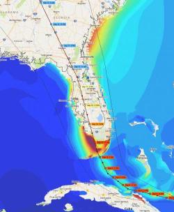
As we noted on Friday, sea-level analytics firm Climate Central had created a simulation based on the National Hurricane Center’s Coastal Emergency Risks Assessment storm surge and wave modeling that illustrated the devastating flooding in Miami that could result from Hurricane Irma’s storm surge. By overlaying the NHC data with a three-dimensional visual of the city obtained using Google maps, the firm created a realistic visual of what the city would look like under between seven and 11 feet of water.


