Mapped: The U.S. States Hit Hardest by Canada’s Tariffs
Mapped: The U.S. States Hit Hardest by Canada’s Tariffs
Key Takeaways
Mapped: The U.S. States Hit Hardest by Canada’s Tariffs
Key Takeaways
 Mapped: The States That Produce the Most U.S. Coal
Key Takeaways

Published
13 hours ago
on
September 7, 2026
| 371 views
-->
By
Jenna Ross
Graphics & Design
The following content is sponsored by Terzo
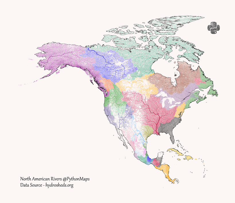 Mapped: U.S. Rivers Resized by Their Water Flows
Key Takeaways
What would a map of U.S. rivers look like if their size represented water flow rather than geography?

Mapped: The Cost of Living in Every U.S. State (2026)
Key Takeaways