Published
1 hour ago
on
August 23, 2025
| 13 views
-->
By
Julia Wendling
Graphics & Design
- Christina Kostandi
- Zack Aboulazm
- Lebon Siu
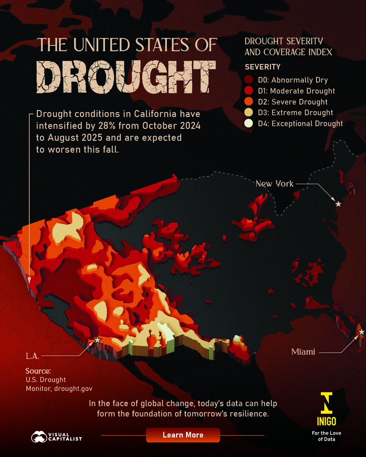
Mapped: The United States of Drought
Drought is common in many parts of the U.S. throughout the year. Right now, arid conditions affect over 60 million people in America.
This visualization, created with Inigo Insurance, shows where drought is occurring and how severe it is as of August 2025. Data comes from the U.S. Drought Monitor.
What Is a Drought?
A drought is a prolonged period of below-average precipitation that results in a shortage of water. This shortage can deplete soil moisture, groundwater, rivers, and reservoirs, disrupting agriculture, ecosystems, and communities.
In the U.S., these events are tracked by the U.S. Drought Monitor, which classifies conditions into five categories: Abnormally Dry (D0), Moderate (D1), Severe (D2), Extreme (D3), and Exceptional (D4). These rankings are based on precipitation, soil moisture, streamflow, and observed impacts.
The Impact of Climate Change
Climate change is intensifying drought by disrupting precipitation patterns and raising temperatures. Warmer air can hold more moisture, leading to more erratic rainfall—some regions face heavier downpours, while others endure prolonged dry spells. Higher temperatures also accelerate evaporation, further drying soils, rivers, and reservoirs.
These changes are making these events not only more frequent in certain regions but also more severe and long-lasting. The West and Southwest are especially at risk, with recent “megadrought” conditions linked to human-driven climate change. Hotter, drier conditions are placing mounting stress on water supplies, agriculture, and ecosystems.
Current Conditions
As of August 2025, arid conditions affected nearly 62 million people in America. The most impacted areas are in the western half of the country, with states such as Colorado, Arizona, and Idaho experiencing extreme drought.
Nationwide, almost 30% of the country faces moderate to extreme aridity. In the West—which includes Arizona, California, Colorado, Idaho, Montana, New Mexico, Nevada, Oregon, Utah, Washington, and Wyoming—66% of the region is affected. In the High Plains, 27% is experiencing drought.
Why it Matters
Aridity brings serious risks—reduced crop yields, water shortages, wildfires, and economic losses that ripple through communities. As climate change heightens these threats, resilience and risk management become critical.
![]()
Explore Inigo’s Hub.
You may also like
-
Technology1 month ago
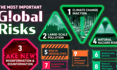
Ranked: The 28 Biggest Global Risks, According to the UN
Climate change inaction was the most important risk overall, ranking as the most pressing issue in three of the seven regions.
-
Misc2 months ago
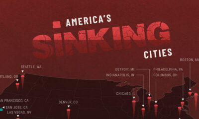
Mapped: America’s Sinking Cities
25 of the 28 largest U.S. metropolitan areas are sinking each year, with cities in Texas experiencing some of the most severe land subsidence.
-
Green4 months ago
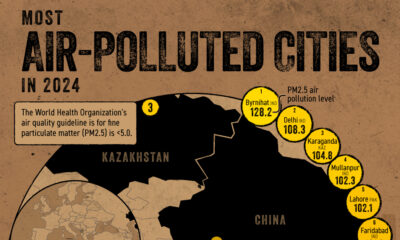
Mapped: Most Air-Polluted Cities in the World
India is home to many of the world’s most air-polluted cities, accounting for 11 of the top 20 cities in 2024.
-

Environment5 months ago
Charted: The Longest-Living Animals on Earth
Earth’s longest-lived animal can survive for over 10,000 years.
-
Green5 months ago
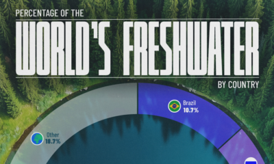
Charted: Share of Freshwater Resources by Country
Water is a scarce commodity that is likely to fuel future conflict. View our graphic to see who controls the most freshwater resources.
-
Misc7 months ago
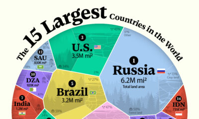
Ranked: The 15 Largest Countries in the World by Land Area
Ranking the top 15 by land area instead of total area produces some interesting results. Read why here.
Subscribe
Please enable JavaScript in your browser to complete this form.Join the 375,000+ subscribers who receive our daily email *Sign Up